

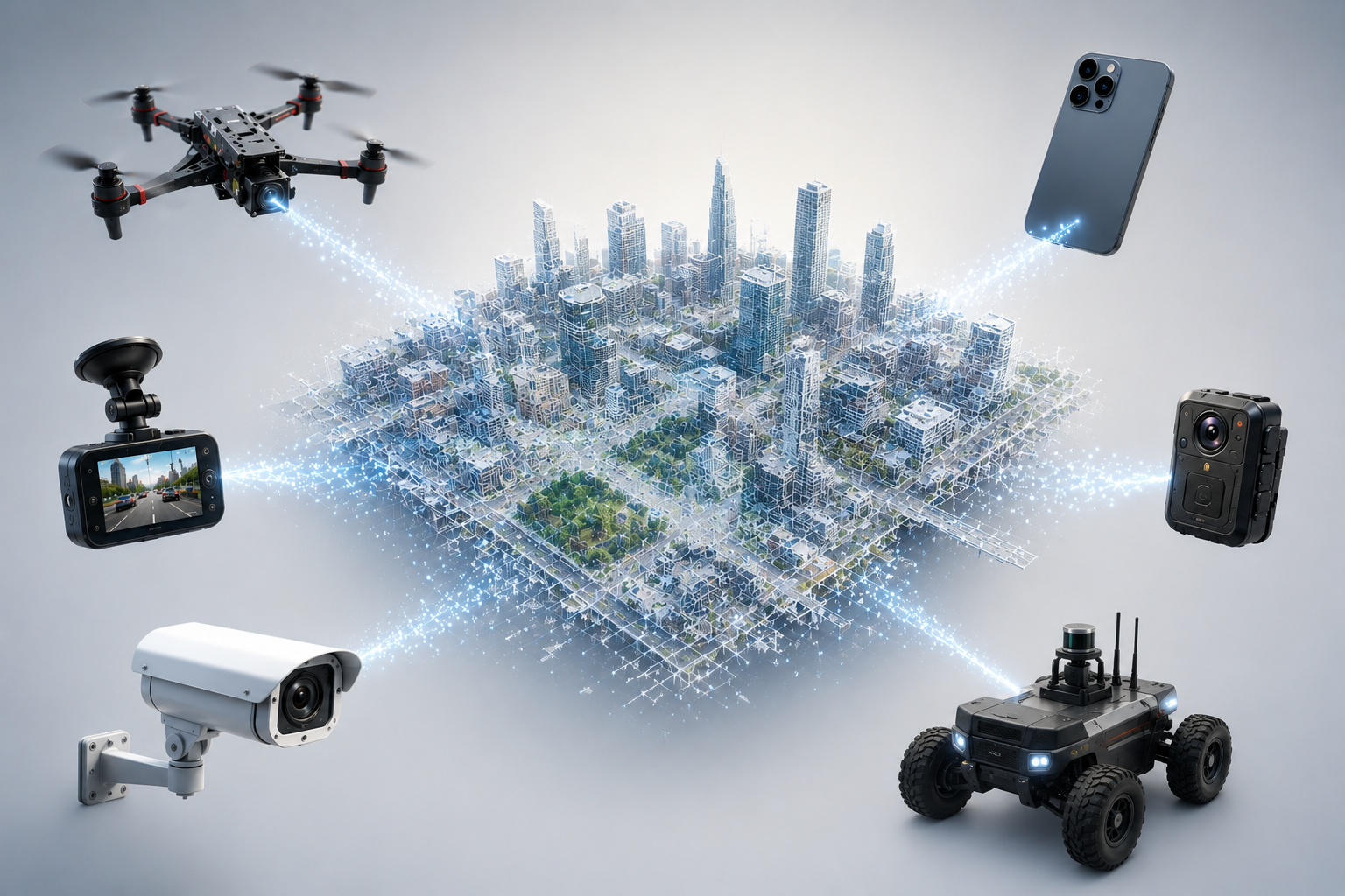
Demos: 3D Mapping From Any Camera, Navigation On Any Platform
I’m publishing our first two demos.
Our technology serves two primary applications.
The first is fully autonomous navigation in urban and off-urban environments – for drones, ground robots, AR glasses, and mobile phones – with no satellite signal and no connectivity required.
The second is building digital 3D maps that can be used for infrastructure inventory, mission planning, change detection, and downstream analytics.
Each demo shows one side of that, and each maps directly to one of our products: 3DMaps Cloud, which turns ordinary video into structured 3D maps, and Real Time VPS, which localizes and navigates on those maps at the edge, without GNSS.
Both are early. Both are working.
Demo 1 — Ordinary video becomes a 3D map
No LiDAR. No GNSS. No survey rig. No specialized hardware of any kind.
We take footage from a consumer phone camera and from publicly available YouTube video. From that alone the system:
- reconstructs the 3D structure of the scene
- recovers the full camera trajectory
- extracts semantic objects — traffic signs, road markings, crosswalks, vehicles, infrastructure
The output is a structured, machine-readable 3D map with semantic layers, built from a sensor that already exists on every mobile phone, dashcam, drone, ground robot, and AR headset on the planet.
That’s the core idea behind 3DMaps Cloud: every camera becomes a mapping sensor, and every pass through an environment makes the map more current.
What we use it for
Crowdsourced mapping. Build and refresh 3D maps from mobile phones, dashcams, AR glasses, and onboard drone and ground robot cameras — instead of dedicated survey fleets.
Mission preparation from open video. Reconstruct an area in 3D before any asset physically enters it.
Municipal infrastructure inventory. Automatically detect and geolocate signs, markings, crosswalks, and poles without field crews.
Change detection. A second pass over the same route surfaces new construction, blocked access, and damaged infrastructure.
Disaster response and damage assessment. Turn first-responder or bystander footage into a 3D model of the affected zone.
Training data for autonomy. Generate labeled 3D datasets and semantic layers from arbitrary video, without manual annotation.
Digital twins and construction progress. Track a site from a walkthrough video shot on a mobile phone instead of a laser scan.
Accident reconstruction and insurance forensics. Recover scene geometry and motion from a single camera recording.
Demo 2 — One stack across altitude and across platforms
Our second demo shows visual navigation (SLAM) and 3D mapping that holds across altitude — and across platforms, meaning drones, ground robots, AR glasses, and mobile phones.
One monocular camera as the primary sensor, fused with IMU. No stereo, no LiDAR, no downward-facing camera.
Most stacks are tuned for a single envelope: low-altitude flight, high-altitude flight, or ground. Change altitude and scale drifts. Change viewpoint and the map stops matching what the camera sees. The usual workaround is a separate system for each platform — one for drones, another for ground robots, another for AR glasses and phones — which means separate maps that never talk to each other.
We built one stack for all of them. The same system localizes drones at low and high altitude, ground vehicles, AR glasses, and mobile phones in the same environment, on a shared map. An aerial pass supports a ground mission; a ground pass sharpens the aerial map; a phone or headset walking the same space contributes to both.
Anyone in this field will recognize what’s hard here: scale consistency across altitude, air-to-ground place recognition, and map reuse across drones, ground robots, AR glasses, and phones — from a single mono camera.
What we use it for
GNSS-denied navigation. Load a map onto an edge device — drone, ground robot, AR glasses, or phone — and localize visually, with no satellite signal and no connectivity.
Mixed-fleet operations. Drones and ground robots working the same objective against one shared map instead of two incompatible ones.
Repeatable route execution. Autonomous route following in pre-mapped environments — indoor, underground, off-road, urban.
AR and spatial computing. Anchor content to the real world on AR glasses and mobile phones through visual localization against an existing 3D map.
How the two fit together
Demo 1 says any camera can produce a map. Demo 2 says any platform — drone, ground robot, AR glasses, or mobile phone — can navigate on that map without emitting a signal.
Run both and every mission is also a mapping pass. A route flown today is navigable tomorrow by a vehicle that has never been there, and the second pass tells you what changed.
Passive. Emission-free. Runs on the edge.
What’s next
More demos are coming shortly, including results from environments where the RF spectrum is genuinely contested rather than simulated.
If you build drones, ground robots, AR glasses, or mobile spatial computing products and this is the layer you’ve been solving around, I’d like to talk.
Best regards,
Vitaliy Goncharuk Co-Founder & CEO, A19Lab