

Visual Localization & City-Scale 3D Maps Crowdsourcing
Routine drone and robot inspection of energy grids, substations, ports and rail that keeps running under jamming - on one shared, always-current city-scale map.
Features
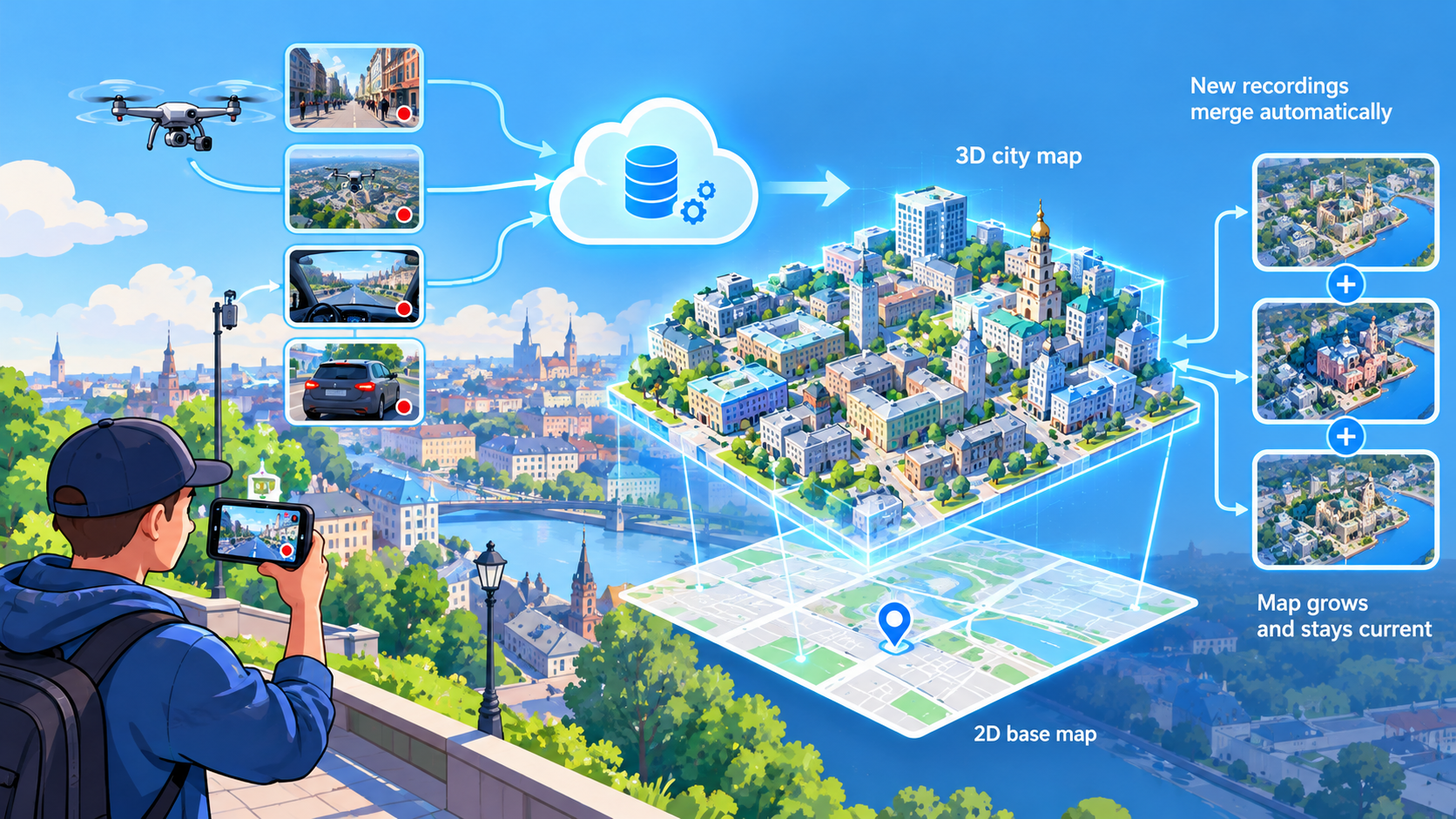
Map from any video
Record a walk, a flight or a drive with an ordinary camera — the cloud turns it into a city-scale 3D map aligned to the 2D base map. Every new recording merges automatically, so the map grows and stays current.
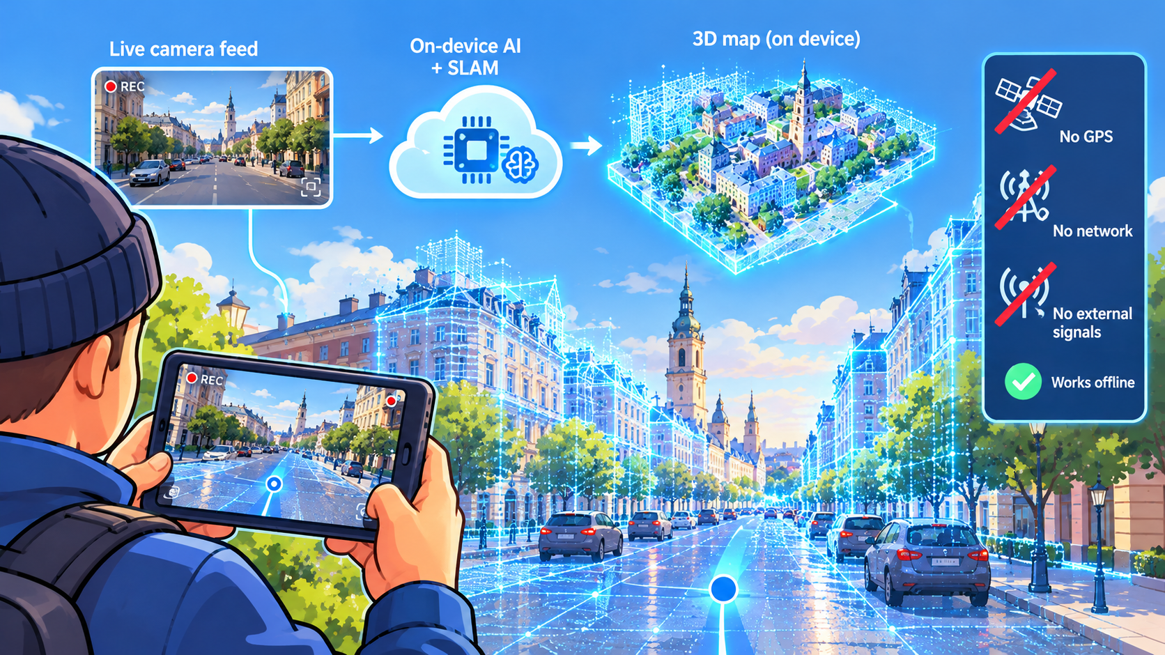
Localize by camera only
The device matches its live camera feed against the 3D map stored on board and tracks its position in real time. No GPS, no network, no external signal — nothing to jam, nothing to cut off.
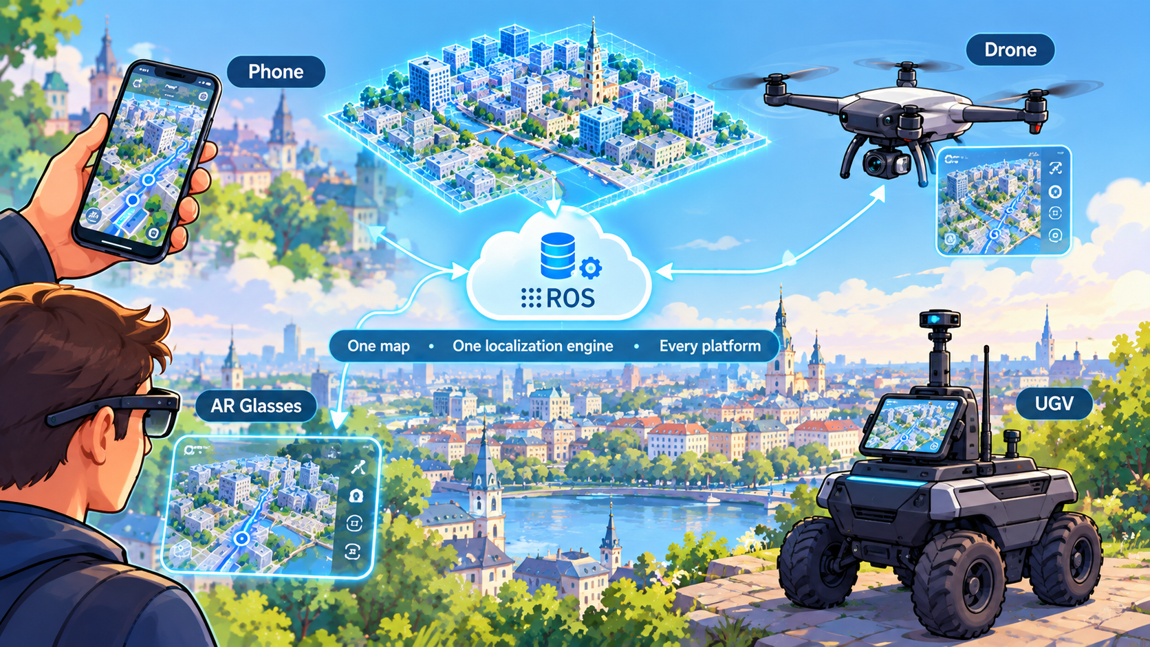
Same stack on phones, drones & robots, AR Glasses
What you see on a phone runs unchanged on drones and UGVs via ROS. One map, one localization engine, every platform you operate.
Focus
Urban Logistics & Delivery
Reliable last-mile navigation for delivery drones and ground robots between tall buildings, where GPS drifts by tens of meters — without dedicated beacons or infrastructure.
Critical Infrastructure
Routine drone and robot inspection of energy grids, substations, ports and rail that keeps running under jamming — on one shared, always-current city-scale map.
Homeland Security
Police, emergency and counter-drone teams get precise positioning for people and machines in cities under attack, with no dependency on satellites or networks.