Physical #AI
for
Critical Infrastructure
⚡️ GPS-denied environments, sensors fusion.
Our Focus

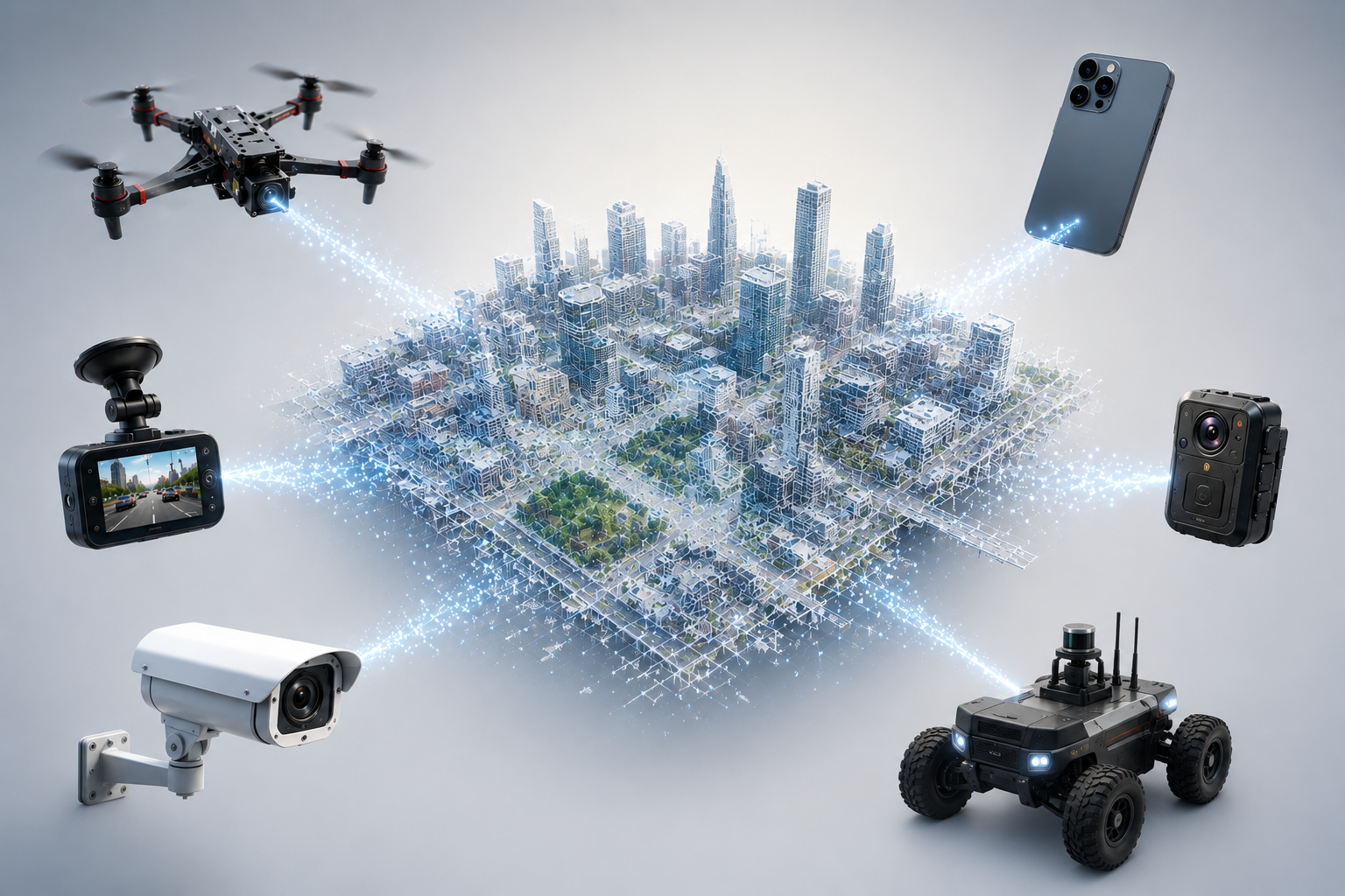
Visual Localization on City-Scale 3D Maps
Precise visual positioning on live, city-scale 3D maps, continuously updated from every deployed device.

Real-Time Visual Navigation for Drones & Robots
Edge-based visual-inertial SLAM that delivers real-time autonomy without GPS or cloud connectivity.

Moon and Mars' Autonomous Navigation
Onboard visual navigation for drones and rovers exploring the lunar and Martian surface, with no GPS and no real-time link to Earth.


Open Vacancies
Our philosophy is simple — hire a team of diverse, passionate people and foster a culture that empowers you to do your best work.
Recent News
Get the latest updates on AI advancements and our company's milestones.